Historic winter storm set to impact tens of millions across US
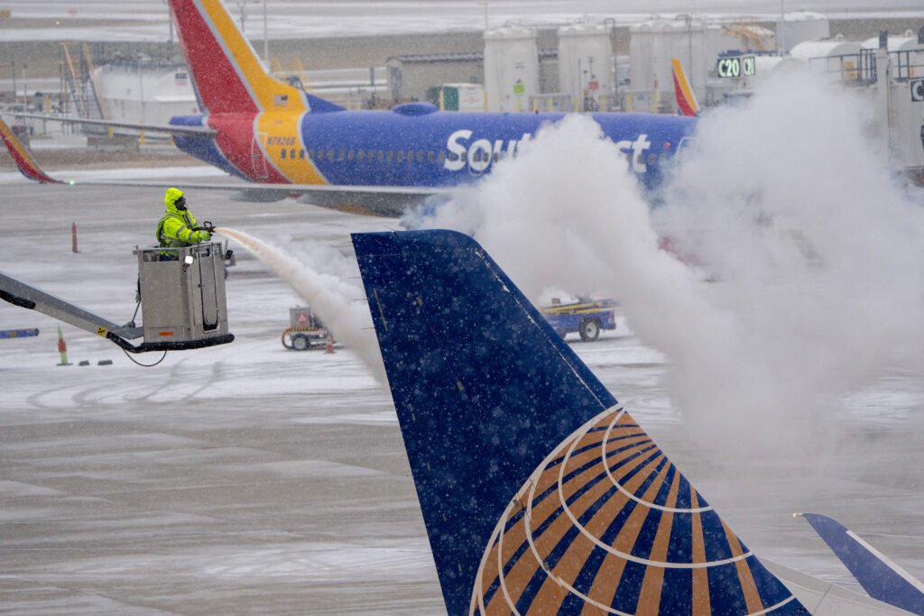
Ice is removed from a United Airlines jet after a cold weather front moved into General Mitchell International Airport in Milwaukee, Wisconsin, U.S. December 22, 2022. Mark Hoffman/USA Today Network via REUTERS. NO RESALES. NO ARCHIVES MANDATORY CREDIT
A massive winter storm is sweeping across the United States, potentially bringing the heaviest snowfall and coldest temperatures in over a decade.
The National Weather Service (NWS) predicts the storm, which began in the central US, will move eastward over the coming days.
States like Kentucky and Virginia have declared states of emergency, while regions unfamiliar with severe cold, including parts of Mississippi and Florida, brace for treacherous conditions. According to forecasters, the polar vortex—an Arctic air mass—is driving the extreme weather.
“For some, this could be the heaviest snowfall in over a decade,” stated the National Oceanic and Atmospheric Administration. AccuWeather forecaster Dan DePodwin warned, “This could lead to the coldest January for the US since 2011,” with temperatures well below historical averages lingering for a week.
The central US faces “dangerous or impossible driving conditions and widespread closures” through Sunday, said the NWS. Kansas and Indiana may receive up to 8 inches of snow, while parts of the Midwest face potential blizzards. “Whiteout conditions will make travel extremely hazardous,” the NWS cautioned.
As the storm moves east, cities like Washington DC, Baltimore, and Philadelphia are preparing for 5–12 inches of snow. In the South, severe thunderstorms may hit Arkansas, Louisiana, and Mississippi.
“This is something we haven’t seen in quite a while,” noted meteorologist Ryan Maue. Airlines, including American and Delta, are waiving change fees due to expected disruptions.