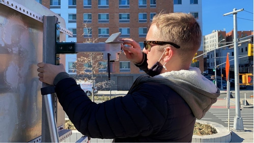
Flood sensors to provide real-time information on local flooding in 50 neighborhoods around NYC

On a crisp, cloudless day earlier this year Ricardo Toledo-Crow went for a stroll in Van Cortlandt Park in the Bronx looking for one of the city’s newly discovered weak points: where water goes and stays during a torrential downpour.
He had just come from a nearby park that overlooks the Major Deegan Expressway, which during Hurricane Ida was flooded to the point of briefly becoming a canal. Yet even here, in typically spongy Van Cortlandt, an overpass by the lake had also been left with a lingering pool of water.
Toledo-Crow, a research associate professor at the City University of New York’s Graduate Center, hopped back into his rented pickup truck, the bed filled with tools, and drove to Mosholu Parkway, by the 4 train overpass.
The storm had left the intersection almost impassable, according to Alicia Grullón, a borough resident and environmental activist who joined Toledo-Crow for the tour in February.
The only sign of the flooding now was the telltale lean of a traffic sign, pitched askew because of the perpetual muddiness of the grass where it was stationed.
All three places, Toledo-Crow determined, would make the cut for FloodNet, a network of flood sensors that will provide, for the first time, real-time data on where the water runs and stays.
Over the next five years, the city, relying on a team of academics from CUNY and New York University, plans to install 500 sensors in places across the city that see routine flooding. So far, they’ve put up 28, mostly in clusters in the south Bronx; Red Hook and Gowanus in Brooklyn; southeast Queens; and in Harlem.
Significant coverage from sensors will allow the city to place accurate signage warning of flooding, as well as issue alerts that communities can actually use.
The project offers a glimpse at how complicated an endeavor it is for the city to even begin understanding its vulnerabilities to climate change. The scientists are relying as much on the city for funding and permission as on residents for their knowledge of neighborhood problem spots, where rising water can indicate wider flooding.
Then, location by location, they’ll install the sensors on signs, buildings and telephone poles, cataloging the city’s water problem.
“We have three major stakeholders: the city, the communities and the academics,” Toledo-Crow said.


